General Wade’s military road: Calvine
This walk offers excellent views to the south and includes a stretch of old military road created by General Wade in the 1720’s. The walk is 12km in length, with an ascent of 350m. It takes about 4 hours.
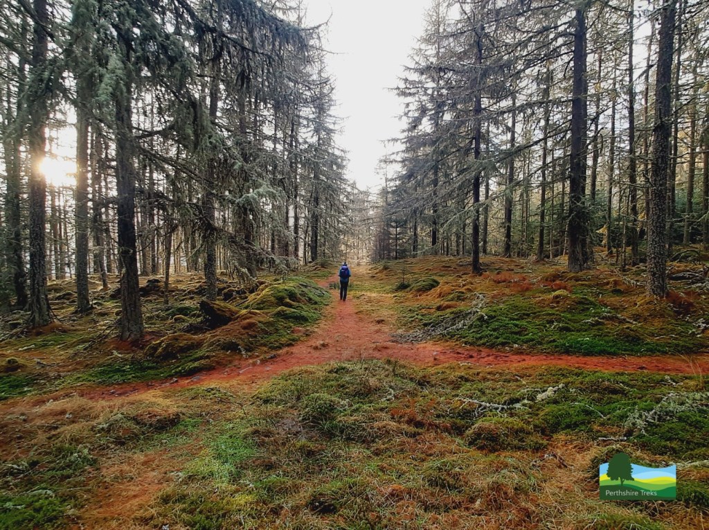
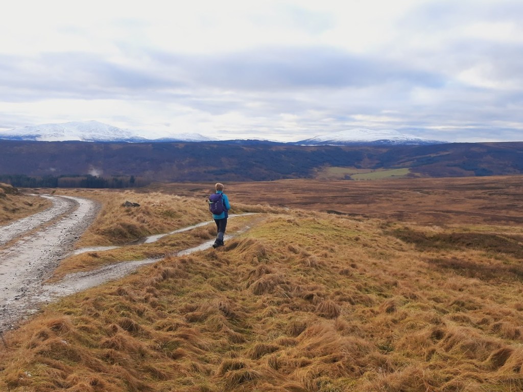
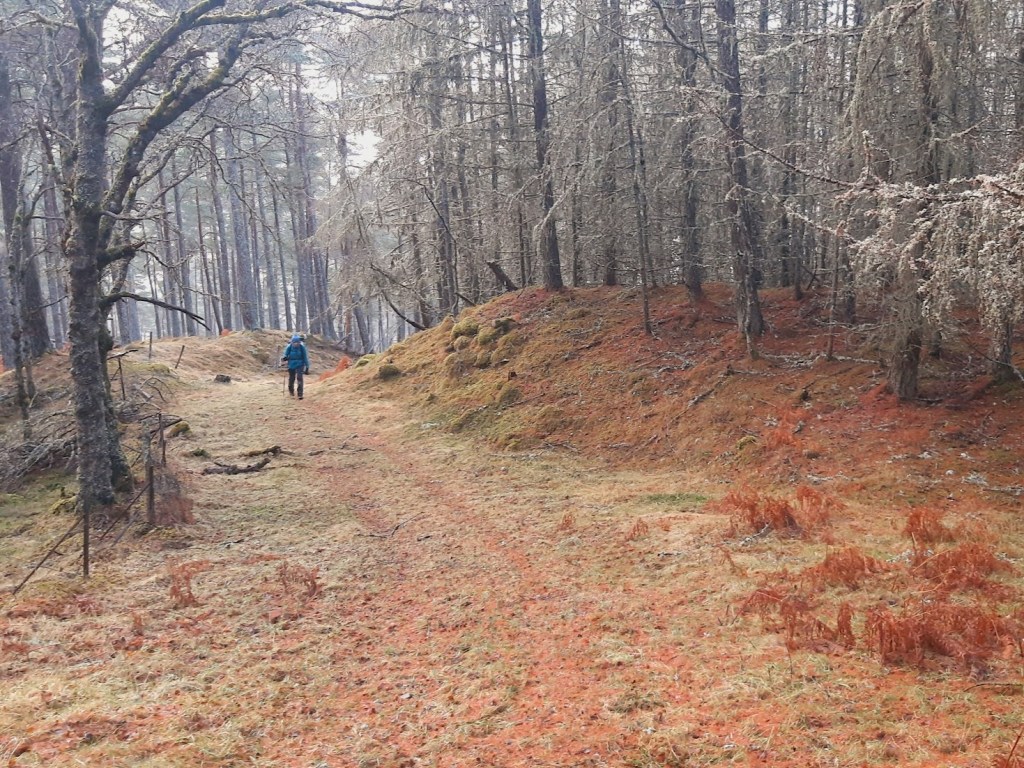
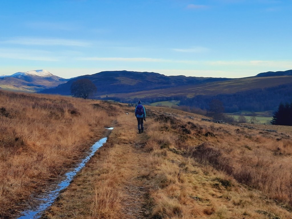
The walk starts in the car park at the House of Bruar. The route follows the path to the Falls of Bruar. After a tunnel under the railway line, there is a turn off for a path through the woods. This turns quickly to a track that takes you through the wood and to a big gate on on the moor. The route follows the track to the right after the gate which takes you to near the summit of Colrig. There is another track at this point (sharp left) which takes you down to a bridge across the Allt a’ Chrombaidh. Follow the track back down the hill towards Clunes Lodge, appreciating the great views to the south which takes in Farragon Hill and Schiehallion.
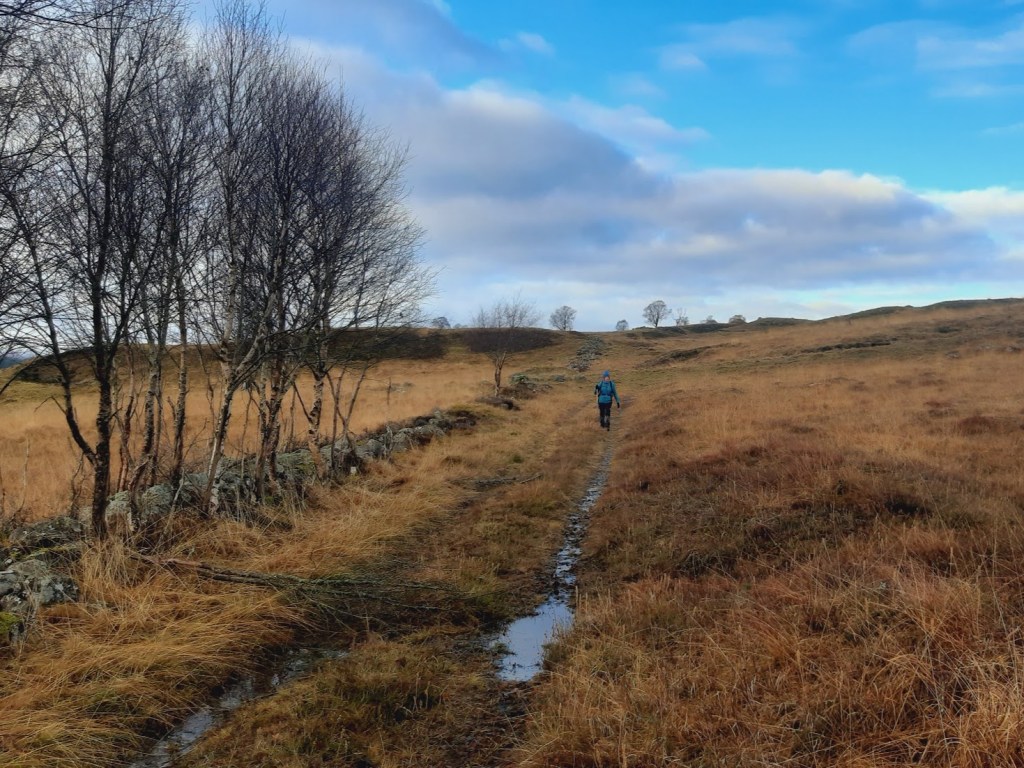
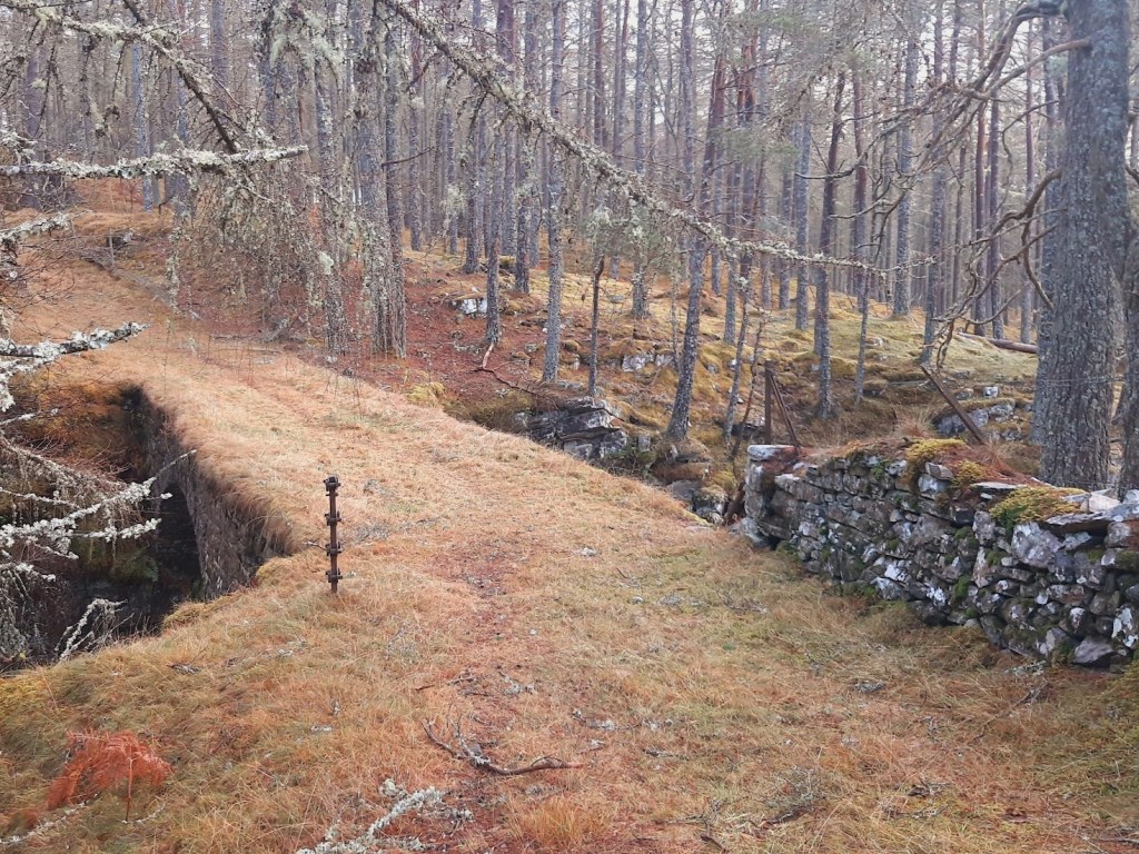
About 2km down this track, there is a less distinct track heading off to the left by a low wall and with birch trees alongside it. This is a General Wade military road built in the late 1720’s. The drainage is a bit poor in places but a lot of it is firm and you can still see the road surface. The route follows the military road for about 3km. Along the way, it goes over the “Eye of the Window” bridge, which was built by General Wade’s workforce in 1728. It was restored in 1985 by the Association for the Protection of Rural Scotland with the help of volunteers from the Scottish Conservation Projects Trust. It’s a great spot with the bridge spanning the Drochaid na h-Uinneige, which is a bit like a miniature Falls of Bruar.
From there, the route follows the military road across the moor back towards Calvine with some great views down the River Garry and with Ben Vrackie in the distance. After a while, the track reaches the gate referred to earlier. The route follows the track back to the Falles of Bruar. After returning to Bruar, you can either explore the Falls of Bruar or return to the House of Bruar and explore the shops or go for a cup of coffee and cake!
The walk follows mainly good paths and tracks, but with some wetter ground for a time.
The description above is not a detailed one. If you wish to try this walk, please make sure you are properly equipped and prepared, and that you have worked out the route on an OS map (at 1:50,000 the route we followed is on sheets 42 (Glen Garry & Loch Rannoch) and 43 (Braemar & Blair Atholl), and at the !:25,000 scale it is on the Explorer map OL49.