Loch Tummel to Calvine
Many of us use our cars to get around and to get somewhere to go for a walk in the countryside. But there are some good “one-way” walks in Highland Perthshire which you can do by using public transport. A good example of this is a walk between Loch Tummel and Calvine.
Traveline Scotland is the best app to check bus times. It’s important to check the bus times because the timetables can change. At the time of writing (in early 2026), there are two options – the 0855 bus from Pitlochry (arriving at Strathtummel at 0916) and catch either the 1302 or 1617 buses from Calvine back to Pitlochry. Or you can catch the 1255 bus from Pitlochry and the 1817 from Calvine. Alternatively, you can start in Calvine (1000 bus from Pitlochry) and walk to Strathtummel. There are buses from there back to Pitlochry at 1423 or 1735 (the latter one would give you time for a well-earned drink and some food at the Inn at Loch Tummel).
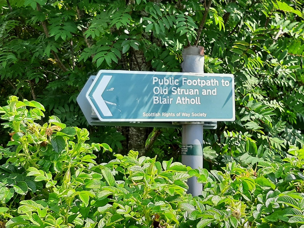
The route is an old coffin road that was used for centuries to carry the deceased from townships in the Tummel Valley to the medieval St Fillan’s Church at Old Struan. It must have been a hard journey for those carrying the coffin and may have involved quite a lot of people carrying a heavy load for that distance.
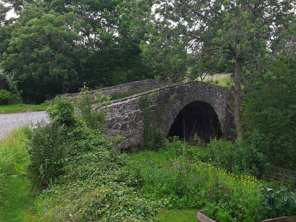
It can be walked either way, but the route here is described from Loch Tummel to Calvine. Take the bus from Pitlochry to Strathtummel. The walk starts at the Inn at Loch Tummel. There is a right of way sign just a few metres east of the Inn and a track goes up the hill side from there. Follow the signs around some farm buildings to reach an area of pasture before a forest. About 150m to the right (east) of the track there is a grassed-over stony mound with a hollow centre. This is a dun of prehistoric date and goes by the name of Balnabodach. Duns such as this were fortified settlement sites of later prehistoric date. The structure would probably have formed the focus of a relatively small, defended farming settlement.
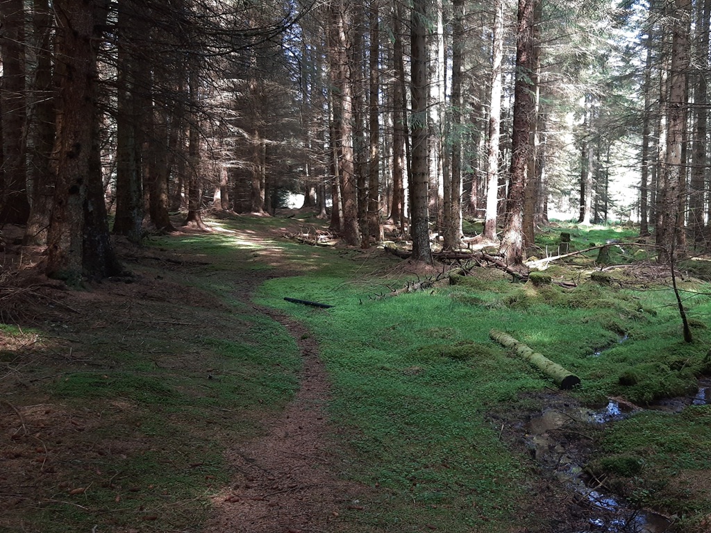
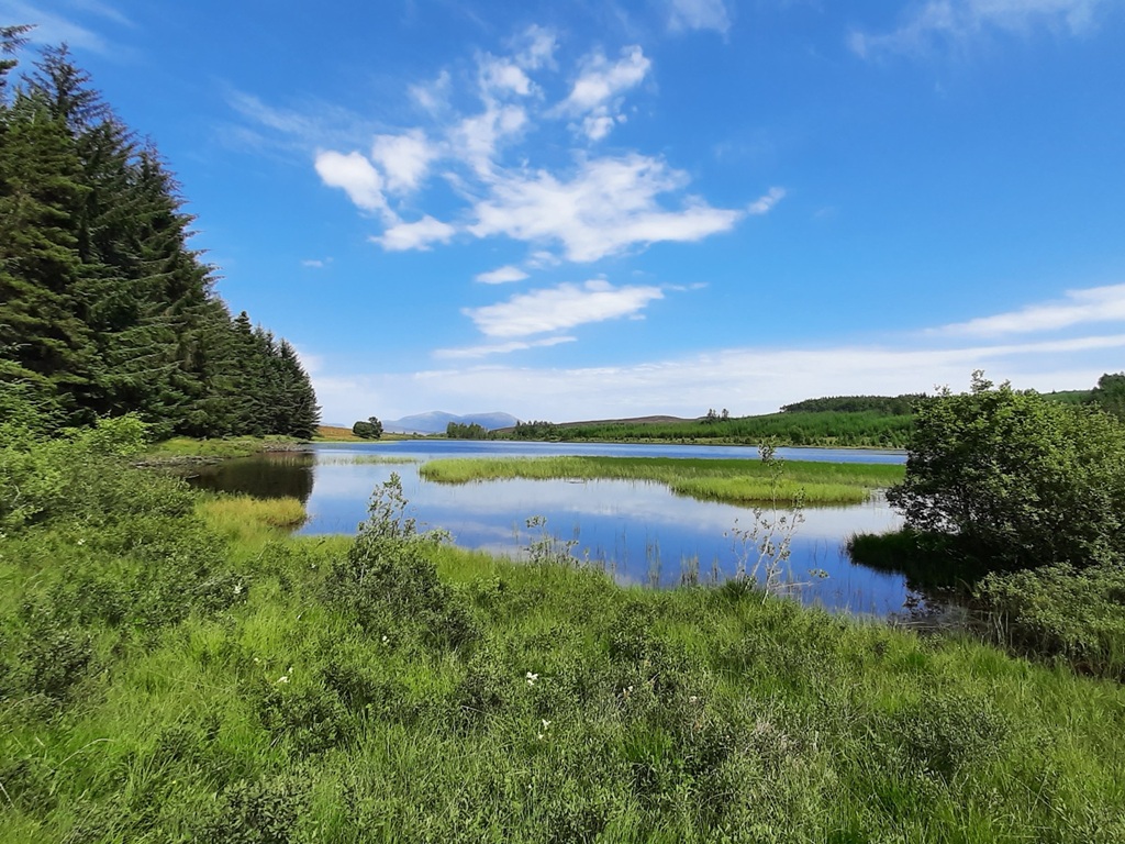
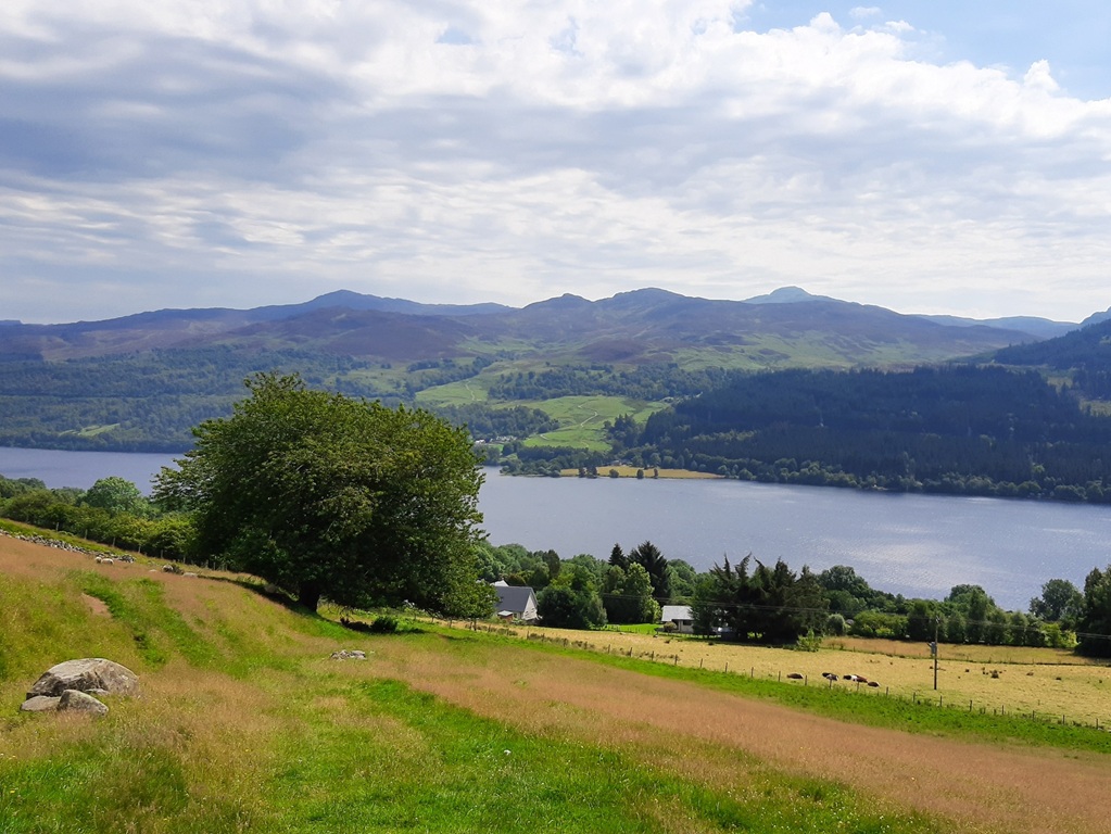
Follow the track into the forest. The track eventually becomes a path which is a bit indistinct at times, but there are some route markers. Follow the path rightwards to reach a forest track. It’s worth paying a visit to Loch Bhac, which offers good views to the north. It’s a fishing loch and is a quiet spot. Retrace your steps back to the crossroads and turn right. This quickly becomes a path which takes you to the edge of the forest and open moorland.
Follow the path across the moor to reach a gate at the forest edge (NN815635). The track heads roughly northwards through the forest and drops down towards the River Garry. The original track went down directly to Old Struan but this is no longer passable. Once you reach the valley floor near the River Garry, the path ends at a minor road (NN816654). Follow this to the left (westwards) to reach Old Struan.
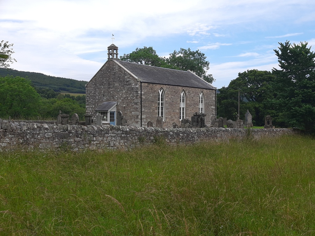
The old church dates from 1829 but there is evidence that this was a Pictish centre a long time before this. From the church follow the road into Calvine. You can catch a bus back to Pitlochry from Calvine.
The walk is 9.5km (6 miles) with a total ascent of 260m (860ft). It should take about 4 hours, including time for a picnic, perhaps at Loch Bhac or on the moor north of there. You can find out more about the route at https://scotways.com/heritage-path/HP51/.